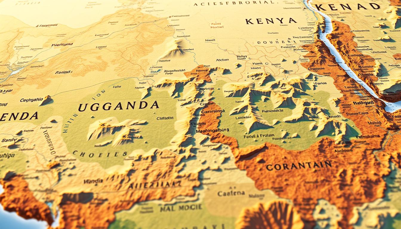
Uganda is a landlocked country in the heart of the East African region. It is surrounded by countries like Kenya, South Sudan, the Democratic Republic of the Congo, Rwanda, and Tanzania. Knowing the geography of this area is key to understanding its culture, history, and economy.
The geography of East Africa greatly influences the climate, trade, and cultural exchange among its nations. Uganda’s location makes it a key spot for regional trade and commerce.
Looking into the East African countries and their borders gives us a deeper understanding of the region’s diversity and complexity. This introduction prepares us for a closer look at Uganda’s geography and its neighbors.
Understanding East Africa’s Geographical Landscape
East Africa is a diverse region with 18 countries and 4 territories, as the UN geoscheme defines it. Its landscapes, climates, and ecosystems vary greatly.
Defining the East African Region
The East African region spans the Horn of Africa and Southeastern Africa. It boasts a rich mix of landscapes, including the African Great Lakes and mountain ranges. The climate here is also varied.
Key Geographical Features of East Africa
East Africa is known for its notable features. It has the African Great Lakes, like Lake Victoria and Lake Tanganyika, and mountain ranges like the Rwenzori Mountains. The Great Rift Valley also runs through this area.
Climate Zones and Ecological Diversity
The climate in East Africa changes a lot, from tropical to semi-arid and arid. This variety supports many ecosystems, like savannas, forests, and alpine areas. The region’s many national parks and protected areas add to its ecological richness.
| Climate Zone | Ecological Features | Notable Locations |
|---|---|---|
| Tropical | Rainforests, Mangroves | Coastal regions, Islands |
| Semi-arid | Savannas, Grasslands | Serengeti, Maasai Mara |
| Arid | Deserts, Dry scrub | Horn of Africa |
East Africa’s landscape is diverse, with different climates, ecosystems, and landmarks. This makes it a fascinating area for environmental and geographical studies.
The Complete East Africa Map: Countries and Territories
The map of East Africa shows a mix of nations, each with its own story and culture. This area is not just different in geography but also in its rich cultural background.
Core East African Community Nations
The East African Community (EAC) brings together several countries in the area. At the heart are Kenya, Tanzania, and Uganda, the original members. They share a common history and work together on economic and social projects.
Kenya is known for its strong economy and tourism. Tanzania is famous for its vast nature and resources. Uganda, called the “Pearl of Africa,” is celebrated for its culture and varied landscapes.
Extended East African Region Countries
Outside the core EAC, other countries are also vital to the region. Countries like Ethiopia, Somalia, and the Democratic Republic of Congo are part of this wider area.
Ethiopia is known for its long history and growing economy. Somalia, despite challenges, is strategic for its location. The Democratic Republic of Congo is rich in natural resources, boosting the region’s economy.
Major Cities and Population Centers
Capital Cities of East Africa
The capital cities in East Africa are key for governance, economy, and culture. Nairobi, Kenya’s capital, is called the “Safari Capital of the World.” Kampala, Uganda’s capital, is known for its hills and markets. Dar es Salaam, Tanzania’s biggest city, is a major port and economic hub.
Urban Development Patterns
Urban growth in East Africa is fast, with cities expanding quickly. New projects and a growing middle class are seen. But, issues like traffic and poor public services are common.
These cities are centers of innovation and business, driving growth and change. As East Africa grows, its cities will be key in shaping its future.
Physical and Political East Africa Map Features
East Africa’s geography is rich with mountain ranges, major lakes, and the Great Rift Valley. These features are key to the region’s ecosystems.
Mountain Ranges and Highlands
The region boasts some of Africa’s most famous mountain ranges. The Ethiopian Highlands and the Rwenzori Mountains stand out. These highlands are vital for their biodiversity and local climates.
Major Lakes and River Systems
East Africa is known for its large lakes, like Lake Victoria, Africa’s largest. The region also has important river systems. These support agriculture and industry. The Nile River is a key waterway here.
The Great Rift Valley
The Great Rift Valley stretches through East Africa. It shapes the landscape and ecosystems. It’s filled with rifts and valleys, creating diverse habitats.
These features make East Africa ecologically diverse. The region has various climates and ecosystems. This supports a wide range of plants and animals.
Uganda’s Strategic Position in East Africa
Uganda sits at the heart of East Africa, playing a key role in regional matters. Its location makes it easy to connect with neighboring countries. This boosts trade and cultural exchange.
Uganda’s Geographical Coordinates and Size
Uganda is found between 1°S and 4°N latitude, and 29°E and 35°E longitude. It spans a total area of 241,038 km². This makes it a big player in East Africa.
The Landlocked Nature of Uganda
Uganda is a landlocked country, needing its neighbors for sea access. This affects its trade and economy. But, its strategic spot makes it a key trade hub.
Uganda’s Administrative Divisions
Uganda is split into several areas, like districts and municipalities. These areas are vital for governance and services. Good administration is essential for Uganda’s growth.
Knowing Uganda’s geography and admin setup is key to understanding its East Africa role. Its strategic location, size, and landlocked status make it unique in the region.
Uganda-Kenya Border: A Detailed Examination
The border between Uganda and Kenya is more than a line on a map. It’s a key trade route and a bridge for cultural exchange. It helps move goods and people across the area.
Length and Major Crossing Points
The Uganda-Kenya border is about 933 kilometers long. Key spots like Busia and Malaba are important for trade. They have border posts that make moving goods and people easy.
Busia is very busy, with lots of trade every day. Malaba is known for its efficient border setup, helping trade flow well.
| Border Town | Significance | Notable Features |
|---|---|---|
| Busia | Busiest border crossing | High volume of daily trade |
| Malaba | Well-organized border facilities | Efficient cross-border trade |
Geographical Features Along the Border
The area has varied landscapes, like Mount Elgon. It’s a key landmark. The different terrains support many ecosystems, from forests to grasslands.
Mount Elgon Border Region
Mount Elgon is a key feature of the Uganda-Kenya border. It’s famous for its biodiversity and natural beauty. It draws tourists and helps local communities.
Busia and Malaba: Key Border Towns
Busia and Malaba are major spots for crossing and economic hubs. They have businesses like retail and logistics. They serve the needs of traders moving between countries.
In summary, the Uganda-Kenya border is essential for East Africa’s economy and geography. Knowing about it helps us understand the region’s integration and growth.
Uganda’s Border with Tanzania
The Uganda-Tanzania border is key in East Africa’s geography and economy. It’s mainly marked by Lake Victoria, one of Africa’s biggest lakes. This lake greatly affects the area’s climate, economy, and culture.
The Lake Victoria Border
Lake Victoria is a big part of the border between Uganda and Tanzania. It’s a vital source of fresh water and supports a big fishing industry. This industry helps millions of people in the area make a living.
The lake’s shore has ports and fishing villages. These places help trade and commerce flow between the two countries.
Key Border Towns and Crossings
There are several important border towns for moving goods and people between Uganda and Tanzania. Some of these towns are:
- Mutukula: A major border crossing known for its lively markets.
- Kyaka: An important crossing that links the Kagera region.
- Kemondo Bay: A big fishing port and tourist spot.
Economic Activities in the Border Region
The border area is full of life, with activities like fishing and tourism. The Lake Victoria basin is full of natural resources. The areas around it are great for farming.
Tourism is also big, with places like national parks and wildlife reserves to visit.
Economic activities in the region include:
- Fishing and fish processing industries.
- Agriculture, including coffee, cotton, and other crops.
- Tourism, with attractions like national parks and historical sites.
The Uganda-Tanzania border is essential for the regional economy. It helps with trade and cultural exchange between the two countries. Improving border management and infrastructure is key for the area’s economic growth.
The Uganda-Rwanda Border Region
The border between Uganda and Rwanda is special because of its geography and economic value. It’s not just a line on a map. It’s a key spot for trade and sharing cultures between the two nations.
Southwestern Border Characteristics
The Uganda-Rwanda border in the southwest has hills and valleys. It’s part of the bigger East African landscape. This area is known for its rich ecosystems and stunning views.
Economic activities here vary, from farming to trade. The land is fertile and the weather is good for growing crops. This helps the local economies a lot.
Economic Significance of the Border
The Uganda-Rwanda border is very important for trade and economic ties. It helps move goods and services between the countries. This boosts economic cooperation.
| Economic Activity | Uganda | Rwanda |
|---|---|---|
| Agriculture | Coffee, maize | Tea, coffee |
| Trade | Informal cross-border trade | Formal trade through customs |
Transportation and Infrastructure
Transport links in the Uganda-Rwanda border area have improved a lot. Road networks have been made better. This makes it easier to move goods and people.
Improving transport between Uganda and Rwanda is key. It helps connect the region better. This supports economic growth in East Africa.
Uganda’s Frontier with South Sudan
Uganda and South Sudan share a border, a place of historical conflicts and ongoing humanitarian issues. This border is more than just a line on a map. It’s a complex area where the two countries interact, affecting regional stability and economic activities.
Northern Border Challenges
The northern border of Uganda with South Sudan faces big challenges. Many refugees from South Sudan’s conflict come here. This situation is unstable, impacting both local people and the wider East African area.
Historical Context of the Border
The history of Uganda and South Sudan’s border is complicated. Both countries have faced conflicts that have shaped their relationship. Knowing this history helps us tackle today’s problems.
Refugee Movements and Humanitarian Concerns
Many refugees from South Sudan have moved to Uganda. Efforts are being made to help these refugees, including giving them shelter, food, and healthcare. It takes teamwork from governments and non-profit groups to help.
The situation at Uganda’s border with South Sudan highlights the need for global support. We must work together to help with humanitarian needs and strive for lasting peace in the area.
The Uganda-Democratic Republic of Congo Border
The Uganda-DRC border is a key area in East Africa. It has different landscapes and ecosystems. This border is important for both countries and for East Africa’s geography and politics.
Western Border Geography
The Uganda-DRC border has varied landscapes. It includes mountains, lakes, and rivers. These features make the area ecologically diverse.
Key Geographical Features:
- The Rwenzori Mountains, known for their rugged terrain and rich biodiversity.
- Lake Albert, a significant water body that forms part of the border.
- The Semliki River, which connects Lake Edward to Lake Albert.
Lake Albert and the Rwenzori Mountains
Lake Albert and the Rwenzori Mountains are key features of the Uganda-DRC border. Lake Albert is vital for water and fishing. The Rwenzori Mountains are famous for their biodiversity and trekking.
Border Security Challenges
The Uganda-DRC border faces security issues. These include cross-border conflicts and armed groups. Strong security is needed to protect locals and keep the region stable.
Security Measures:
- Joint security operations between Uganda and DRC.
- Intelligence sharing to counter threats.
- Community engagement to prevent local conflicts.
Natural Resources and Conservation Areas
The border region is rich in natural resources like oil, gas, and minerals. It also has conservation areas like national parks. These areas are vital for protecting biodiversity.
Conservation Efforts:
- Protection of endangered species.
- Management of natural resources.
- Eco-tourism initiatives.
Historical Evolution of East Africa’s Borders
The history of East Africa’s borders is complex. It involves colonial influence, changes after independence, and ongoing regional dynamics. Countries like Uganda, Kenya, Tanzania, Rwanda, Burundi, and South Sudan have seen their geography shaped by history.
Colonial Influence on Border Formation
Colonial powers shaped East Africa’s borders in the late 19th century. Britain, Germany, Belgium, and Italy drew lines that ignored ethnic and geographical divisions. This legacy affects the region’s politics today.
Key aspects of colonial influence include:
- Artificial boundaries that divided ethnic groups and traditional territories.
- Economic infrastructure developed to serve colonial interests, not regional integration.
- Administrative systems imposed without thought for local governance.
Post-Independence Border Adjustments
After gaining independence, East African countries kept the colonial borders. Yet, there have been changes and disputes. Some borders have been renegotiated, while others are contentious.
Notable post-independence border adjustments include:
- The Uganda-Kenya border adjustments.
- Territorial disputes between Tanzania and Malawi over Lake Nyasa.
- The Uganda-Tanzania border changes after the 1978-79 war.
Border Conflicts and Resolutions
Border conflicts have shaped East Africa’s politics. These conflicts stem from resource disputes, territorial claims, or border community issues. Regional organizations and agreements have helped resolve these issues.
Examples of border conflicts and their resolutions include:
| Conflict | Countries Involved | Resolution Mechanism |
|---|---|---|
| Uganda-Kenya border dispute | Uganda, Kenya | Boundary Commission and bilateral agreements |
| Tanzania-Uganda border conflict | Tanzania, Uganda | War followed by diplomatic negotiations |
The history of East Africa’s borders is complex. It involves colonial legacy, post-independence changes, and ongoing regional dynamics. Understanding this history is key to addressing current challenges and promoting regional cooperation.
Cross-Border Tourism and Travel in East Africa
East Africa is known for its diverse landscapes and rich culture. It’s a top spot for cross-border tourism. The area’s unique blend of cultures and stunning natural beauty draws millions of visitors each year.
Major Tourist Destinations Near Borders
East Africa boasts many famous tourist spots near its borders. These include national parks and conservation areas. For example, the Serengeti National Park in Tanzania, Maasai Mara National Reserve in Kenya, and Bwindi Impenetrable National Park in Uganda are well-known. They are famous for their wildlife and offer unforgettable wildlife experiences.
Border Crossing Procedures for Travelers
East African countries have made border crossings easier for travelers. The East African Tourist Visa is a big help. It lets visitors go to several countries with just one visa. This has cut down travel hassles and boosted tourism in the area.
“The East African Tourist Visa has revolutionized travel in the region, making it easier for tourists to explore the diverse attractions that East Africa has to offer.” –
Trans-boundary Conservation Areas
Trans-boundary conservation areas are key for cross-border tourism and protecting nature. The Serengeti-Masai Mara ecosystem and the Virunga Massif are examples. They protect wildlife and help countries work together.
East African Tourist Visa Initiative
The East African Tourist Visa Initiative is a big step for regional tourism. It lets travelers visit several countries with one visa. This makes travel easier and encourages more people to see the region. It’s expected to help tourism grow and boost the local economy.
Economic and Cultural Exchange Across East African Borders
East Africa’s borders are more than just lines on a map. They are key places where people and goods move freely. The East Africa Map shows how these borders help countries work together and share ideas.
Cross-Border Trade Networks
Trade is a big deal in East Africa. Countries here trade with each other a lot. For example, towns like Busia and Malaba on the Uganda-Kenya border are full of life and commerce.
| Border Town | Countries Involved | Major Trade Activities |
|---|---|---|
| Busia | Uganda, Kenya | Agricultural produce, manufactured goods |
| Malaba | Uganda, Kenya | Cross-border trade in goods, services |
| Mutukula | Uganda, Tanzania | Trade in agricultural products, livestock |
Trans-Border Communities and Ethnic Groups
Many communities in East Africa live across borders. For instance, the Maasai people in Kenya and Tanzania share a common culture. Their traditions show how people can be connected despite different countries.
“The cultural heritage of East Africa is rich and diverse, with many communities sharing historical and cultural ties that transcend national borders.”
Regional Integration Efforts
East Africa is working hard to be more united. The East African Community (EAC) is leading the way. It aims to make trade easier and help countries work together better.
Thanks to these efforts, doing business across borders is getting easier. As East Africa grows, its borders will play an even bigger role in connecting people and cultures.
Conclusion: The Evolving Landscape of East Africa’s Borders
East Africa’s borders are changing, thanks to regional integration, economic activities, and cultural exchanges. The East Africa Map shows the region’s complexity. It has many countries and territories linked by a rich geography.
The region’s geography, with its varied climates and ecosystems, greatly affects people’s lives in East Africa countries. As countries work together more, knowing Africa geography helps us see the region’s full promise.
The East Africa regions are seeing a lot of economic and cultural exchange. This is thanks to trade networks and communities that cross borders. This exchange helps the region become more united and connected.
As East Africa grows and develops, its borders will keep playing a key role in its identity. By grasping the region’s geography and border dynamics, we can better understand its future opportunities and challenges.