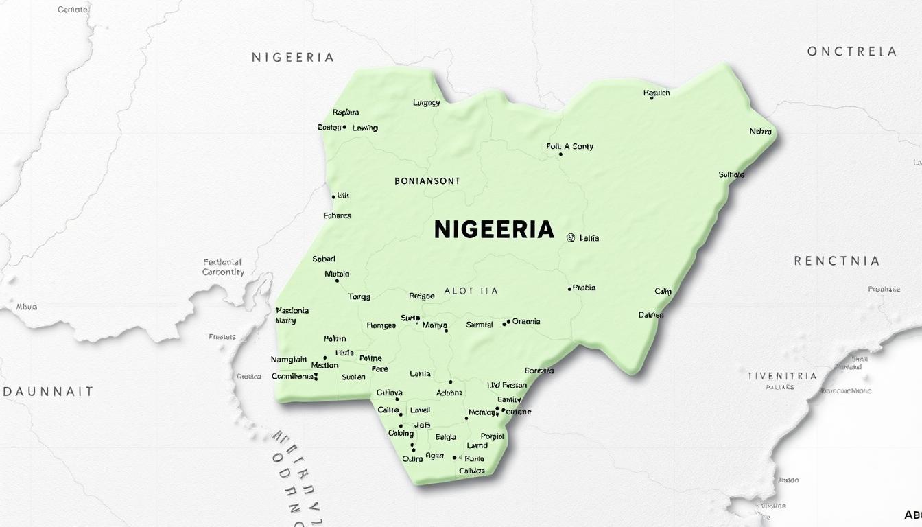
The detailed map of Nigeria shows the country’s varied geography. It includes 36 states and the Federal Capital Territory, Abuja. Nigeria’s geography is rich and diverse, with many regions that add to its cultural heritage.
Nigeria is divided into 36 states, each with its own unique features. The Federal Capital Territory, Abuja, is the capital. It is home to important government buildings and infrastructure.
Understanding Nigeria’s map helps us see the country’s layout and its different regions. This introduction prepares us for a deeper look into Nigeria’s geography in the next sections.
Overview of Nigeria’s Geography and Administrative Structure
Nigeria’s geography and administration are key to understanding its growth and regional interactions. Located in West Africa, Nigeria boasts a varied landscape. It ranges from tropical rainforests to savannas.
Nigeria’s Location and Geographical Features
Nigeria lies between latitudes 4°N and 14°N, and longitudes 3°E and 15°E. It has diverse ecosystems and varied climate zones. The terrain includes lowlands and mountains in the southeast.
The climate shifts from tropical in the south to arid in the north. This affects farming and where people live.
Evolution of Nigeria’s Administrative Boundaries
After gaining independence in 1960, Nigeria’s borders have changed a lot. It started with three regions: Northern, Western, and Eastern. These were later split into states and local government areas for better management.
Now, Nigeria has 36 states and the Federal Capital Territory, Abuja. This shows the country’s complex growth in administration.
The Nigeria Map: A Comprehensive Guide
Understanding the Nigeria map is key to navigating the country’s complex geography and admin setup. It’s a vital tool for exploring Nigeria’s varied landscapes, from vast savannas to dense rainforests. It also helps grasp the country’s political and admin divisions.
Historical Development of Nigeria’s Cartography
The history of mapping in Nigeria began in the early 20th century with the first topographic maps. Cartographers used traditional methods to map the country’s diverse geography. As the demand for accurate maps increased, so did the technology used to make them.
“The evolution of mapping in Nigeria has been a gradual process, influenced by technological advancements and the need for more precise geographical data,” a leading cartography expert notes.
The development of Nigeria’s cartography has seen major milestones, like the creation of the first political maps. These early maps set the stage for modern cartography in Nigeria.
Modern Mapping Technologies for Nigeria
Modern mapping technologies have changed the game in Nigeria. Geographic Information Systems (GIS) and satellite imaging have made it possible to create highly accurate maps. These technologies have many uses, from urban planning to environmental monitoring.
Some key benefits of these modern technologies include:
- Enhanced accuracy in mapping Nigeria’s diverse geography
- Improved ability to monitor environmental changes
- Better urban planning and infrastructure development
A GIS specialist notes, “Modern mapping technologies have changed how we understand and interact with Nigeria’s geography. They enable more informed decision-making across various sectors.”
The Federal Capital Territory: Abuja
Abuja is the Federal Capital Territory of Nigeria. It marks a big change in the country’s government and geography. It has become a symbol of unity and a center for government activities.
History and Establishment of Abuja
In 1976, Nigeria decided to move its capital from Lagos to Abuja. The move happened officially in 1991. It was a plan to have a central and neutral capital that shows the country’s diversity.
Abuja’s development was part of a bigger plan to improve Nigeria’s infrastructure and governance.
Major Districts and Landmarks in Abuja
Abuja has a well-planned layout with different areas like the Central Business District and diplomatic zones. Important landmarks include the National Assembly, the National Mosque, and the National Christian Centre.
The city’s design shows its role as Nigeria’s capital. It mixes modern and traditional architecture. Knowing Abuja’s layout and key spots helps us understand Nigeria’s governance and culture.
Historical Evolution of Nigeria’s 36 States
Nigeria’s journey from three regions to 36 states shows the country’s changing ways of governing. This change aimed to improve governance, give more voice to regions, and make administration more efficient.
From Three Regions to 36 States
At independence in 1960, Nigeria had three regions: the Northern, Western, and Eastern. This setup came from British colonial rule. But, as Nigeria grew, it became clear that more states were needed to fix regional imbalances and improve governance.
The first big change happened in 1967, when Nigeria was split into 12 states. Then, the number of states grew to 19 in 1976, 21 in 1987, and 36 in 1996. The Federal Capital Territory, Abuja, was also established.
| Year | Number of States | Major Reforms |
|---|---|---|
| 1960 | 3 Regions | Independence with three regions |
| 1967 | 12 States | First major state creation |
| 1976 | 19 States | Further subdivision for administrative efficiency |
| 1996 | 36 States | Final state creation, current configuration |
Key Administrative Reforms and State Creation
New states in Nigeria were created for several reasons. These include making government more accessible, solving ethnic and regional issues, and boosting economic growth. Each state creation brought about important changes to improve governance and public services.
Key reforms included changing administrative lines, setting up new state capitals, and sharing resources and infrastructure. These efforts have greatly influenced Nigeria’s political map and its complex political scene.
Northern Nigeria States on the Map
Nigeria’s northern region is filled with states, each with its own culture and geography. This section will look at the states in Northern Nigeria. We’ll divide them into the North West, North East, and North Central regions.
North West Region
The North West region of Nigeria has seven states. Each state plays a big role in the country’s economy and culture.
Jigawa, Kaduna, Kano, Katsina, Kebbi, Sokoto, and Zamfara
- Jigawa: Known for its agricultural produce, Jigawa is a key state in the region.
- Kaduna: A major commercial center, Kaduna is significant for its industrial and educational institutions.
- Kano: As a major economic hub, Kano is important for trade and commerce in Northern Nigeria.
- Katsina: Katsina is another important state, known for its agricultural output and historical significance.
- Kebbi: Kebbi state is notable for its fishing industry and agricultural produce.
- Sokoto: Historically significant, Sokoto is known for its role in the ancient Sokoto Caliphate.
- Zamfara: Zamfara is rich in mineral resources, including gold.
North East Region
The North East region is known for its diverse geography and rich cultural heritage.
Adamawa, Bauchi, Borno, Gombe, Taraba, and Yobe
- Adamawa: Known for its diverse ethnic groups and agricultural produce.
- Bauchi: Rich in mineral resources, including tin and columbite.
- Borno: Historically significant, Borno is a key state in the region.
- Gombe: Gombe is known for its agricultural output and natural resources.
- Taraba: Taraba is often referred to as the ‘Nature’s Gift’ due to its natural resources.
- Yobe: Yobe is significant for its agricultural produce and cross-border trade.
North Central Region
The North Central region, also known as the Middle Belt, is a melting pot of cultures and geography.
Benue, Kogi, Kwara, Nasarawa, Niger, and Plateau
- Benue: Known as the ‘Food Basket’ of Nigeria, Benue is key for its agricultural output.
- Kogi: Kogi is significant for its coal deposits and iron ore.
- Kwara: Kwara is known for its educational institutions and agricultural produce.
- Nasarawa: Nasarawa is rich in mineral resources, including marble and granite.
- Niger: Niger state is the largest state in Nigeria and is known for its mineral resources.
- Plateau: Plateau is known for its cool climate and significant agricultural produce.
Southern Nigeria States on the Map
Nigeria’s southern states are key to the country’s economy and culture. They have both urban and rural areas. The region is split into three main parts: the South West, South East, and South South.
South West Region
The South West is home to big economic centers and cultural spots. It has six states:
- Ekiti
- Lagos
- Ogun
- Ondo
- Osun
- Oyo
Lagos is a major commercial hub, playing a big role in Nigeria’s economy. The area is also famous for its schools and historical sites.
Each state in the South West has its own special features. For example, Ekiti is famous for its farming. Ogun is known for its industry. Ondo and Osun are rich in culture. Oyo is famous for its history.
South East Region
The South East is a key part of Southern Nigeria, known for its industry and commerce. It has five states:
- Abia
- Anambra
- Ebonyi
- Enugu
- Imo
Anambra is called the “commerce hub” for its markets. Enugu, known as the “coal city,” has a mining history.
Abia, Anambra, Ebonyi, Enugu, and Imo
The South East states are known for their business spirit and industry. Abia is famous for its manufacturing. Ebonyi is known for its farming.
South South Region
The South South is rich in natural resources, like oil and gas. It has six states:
- Akwa Ibom
- Bayelsa
- Cross River
- Delta
- Edo
- Rivers
Rivers State, and Port Harcourt in particular, is a big center for oil and gas. The region is also known for its diverse culture and natural beauty.
Akwa Ibom, Bayelsa, Cross River, Delta, Edo, and Rivers
Each state in the South South has its own economic and cultural importance. Akwa Ibom is famous for its oil. Cross River is known for its tourism, like the Calabar Carnival.
Nigeria’s Six Geopolitical Zones: Regional Analysis
It’s important to know about Nigeria’s six geopolitical zones. They help us understand the country’s geography and politics. These zones were made to help with administration, economy, and politics.
Formation and Purpose of the Geopolitical Zones
The six zones in Nigeria were set up to group states by culture, economy, and geography. This helps with cooperation, development, and stability. The zones are: North-Central, North-East, North-West, South-East, South-South, and South-West.
The zones were created to:
- Boost regional economic growth
- Encourage cultural exchange
- Strengthen political coordination and stability
Economic and Cultural Characteristics of Each Zone
Each zone in Nigeria has its own economic and cultural traits. For example, the North-West is known for farming. The South-South is rich in oil and gas.
| Geopolitical Zone | Economic Characteristics | Cultural Characteristics |
|---|---|---|
| North-Central | Agriculture, mining | Diverse ethnic groups |
| North-East | Agriculture, livestock | Predominantly Hausa and Fulani |
| North-West | Agriculture, trade | Mainly Hausa and Fulani |
| South-East | Commerce, industry | Predominantly Igbo |
| South-South | Oil and gas, fishing | Diverse ethnic groups including Ijaw and Itsekiri |
| South-West | Commerce, industry, agriculture | Mainly Yoruba |
The economic and cultural traits of each zone are key to Nigeria’s growth and regional balance. Knowing these traits helps policymakers make better decisions.
Major Cities and Urban Centers on the Nigeria Map
Nigeria’s cities and urban centers are key to the country’s growth. They play big roles in the economy and culture. The detailed map of Nigeria shows where these places are, making it clear how important they are.
Metropolitan Areas and Population Distribution
Nigeria’s cities are full of people and are centers for business and work. Places like Lagos, Abuja, and Port Harcourt are growing fast. The people living in these areas are spread out, with some places having more people than others.
Lagos is one of Nigeria’s biggest cities, drawing people from all over for work. Knowing where people live helps with planning cities and using resources well.
Economic Hubs and Industrial Centers
Nigeria’s cities are also big players in the economy. They have different industries that help the country. The detailed map of Nigeria points out important places like the Niger Delta for oil and gas. Cities like Kano and Ibadan are big for making things and doing business.
These cities are key for Nigeria’s growth. They offer jobs and help the country’s economy a lot. It’s important to keep these areas growing for the country’s success.
Natural Features on the Nigeria Map
Nigeria’s landscape is a mix of rivers, mountains, and forests. The country’s geography is varied. This diversity is key to its ecological balance and economic growth.
Rivers and Water Bodies
Nigeria has big rivers like the Niger and Benue. The Niger River is vital for water, fishing, and farming. The Benue River brings nutrient-rich silt with its seasonal floods.
The country also has lakes and dams like Kainji Lake and Bakolori Dam. These are important for power and irrigation. They help Nigeria’s farms and support many people’s lives.
Mountain Ranges and Highlands
Nigeria has mountains and highlands, like the Obudu Plateau. It’s in the southeast and is cool and beautiful. Other notable ranges are the Shebshi Mountains and Oban Hills, full of life and plants.
Forests and National Parks
Nigeria has forests and parks for conservation and tourism. The Kainji National Park is famous for its wildlife, like elephants and lions. Other forests, like the Cross River Forest and Omo Forest Reserve, are rich in hardwood and support many ecosystems.
These natural wonders are vital for Nigeria’s environment and economy. They boost tourism and sustainable forest use.
Types of Nigeria Maps and Their Applications
Maps of Nigeria are more than just pictures of the land. They are tools for many uses. Nigeria’s varied geography and complex government need different maps for different needs.
Political and Administrative Maps
Political and administrative maps show how Nigeria is governed. They outline the borders of states and local areas. These maps are key for planning, elections, and government work.
“As noted by a geographical expert, ‘Political maps are indispensable for administrative planning and governance.'”
The accuracy of these maps is vital for smooth government operations.
Topographic and Physical Maps
Topographic and physical maps show Nigeria’s natural features like mountains and rivers. They are important for studying the environment, planning cities, and building infrastructure. They help spot danger zones and plan for saving nature.
Topographic maps are used in building dams and roads. They give vital info on the land, helping projects succeed.
Road and Transportation Maps
Road and transportation maps help with travel and planning. They show the road network, including highways and major roads. They are vital for logistics, travelers, and city planners.
A good road map can make travel better. It helps plan the best routes for emergencies or goods delivery.
In summary, Nigeria’s maps have different uses for various groups. Knowing how to use these maps can make them more helpful.
Digital Nigeria Maps and GIS Resources
Modern digital tools are changing how we see Nigeria’s geography. The use of Geographic Information System (GIS) and digital mapping has made Nigerian maps more accurate and easy to access.
Online Mapping Platforms for Nigeria
Many online platforms now have detailed, interactive maps of Nigeria. These platforms let users zoom in on areas, see geographical features, and look at historical maps. Key features include:
- Interactive Maps: Users can explore maps and get detailed info on different regions.
- Real-time Data: Platforms offer up-to-date data, useful for navigation and tracking the environment.
- Historical Data: Access to historical maps helps analyze how Nigeria’s geography has changed over time.
These online tools are great for researchers, policymakers, and the public. They provide deep insights into Nigeria’s geography and help us understand the country’s spatial dynamics better.
Mobile Applications for Navigating Nigerian Territories
Mobile apps are also key for navigating Nigeria. These apps have features that help users find their way around the country.
- GPS Navigation: Many apps use GPS to guide users to their destinations.
- Real-time Traffic Updates: Some apps give traffic updates, helping users avoid traffic jams.
- Points of Interest: Users can find hotels, restaurants, and landmarks with these apps.
Using these digital tools, people and organizations can better understand Nigeria’s geography. This knowledge helps in making informed decisions and improves navigation.
Economic Resources and Development on the Nigeria Map
The physical map of Nigeria shows the country’s wealth in oil, gas, and minerals. These are key for its growth. Nigeria’s geography supports many economic activities, from farming to mining, in its 36 states and the capital area.
Natural Resources Distribution by State
Nigeria has many natural resources like oil, gas, coal, and minerals like tin and gold. These resources are spread out across the country. For example, oil and gas are mainly found in the Niger Delta, covering states like Rivers and Delta.
Solid minerals are found in different areas. Tin and columbite are mined in Plateau State. Iron ore is found in Kogi and Nasarawa states.
The distribution of natural resources affects each state’s economy. It helps local economies and boosts the national GDP. Knowing where these resources are is key for planning and growth.
Agricultural Zones and Industrial Centers
Nigeria’s farming sector is also important, with different areas growing different crops. The north’s savannas are good for crops like maize and cotton. The south is better for cocoa, rubber, and palm oil.
Industrial centers are often near raw materials or good transport links. For example, cement is made in Sokoto and Niger, where limestone is found. Agricultural and industrial activities drive Nigeria’s economy, creating jobs and helping it grow.
Conclusion: Understanding Nigeria’s Geographic and Administrative Landscape
Nigeria’s diverse geography and complex divisions are shown well on the Nigeria Map. It gives a clear view of the country’s 36 states and the Federal Capital Territory, Abuja.
The Nigerian map is key for grasping the country’s geography. It covers the northern regions to the southern states. It also shows the various zones that influence the nation’s economy and culture.
Looking at the Nigeria Map, you can see the country’s natural wonders. This includes rivers, mountains, cities, and economic centers.
Knowing Nigeria’s geography helps us understand its rich culture and economic possibilities. The Nigeria Map is vital for anyone studying or interested in the country’s growth.