Map of North Africa: Downloadable Scientific Diagram
Downloadable map of North Africa showcasing the region’s geography, countries, and major landmarks. Ideal for educational and research purposes.
Where Knowledge Meets Innovation
Downloadable map of North Africa showcasing the region’s geography, countries, and major landmarks. Ideal for educational and research purposes.
Explore the political geography of Latin America with our comprehensive Latin America Map. Discover country borders, capitals, and more.
Explore the 33rd Parallel latitude on this detailed map of the United States, showcasing key geographic features and landmarks.
Explore the location of Angola on this detailed map of Africa. Discover the country’s geographic position and surrounding regions.
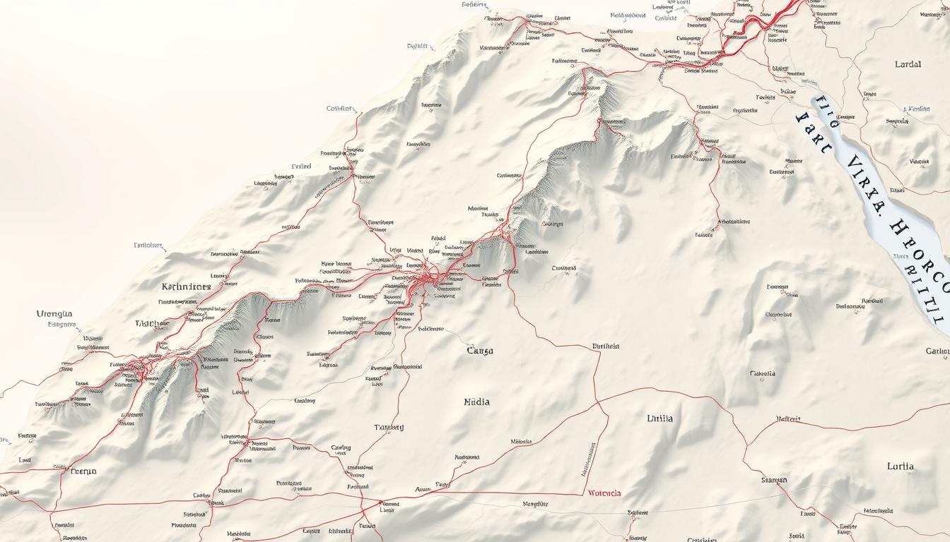
Detailed scientific diagram of Northern Morocco’s geography. Download the high-resolution Morocco Map for your research or project.
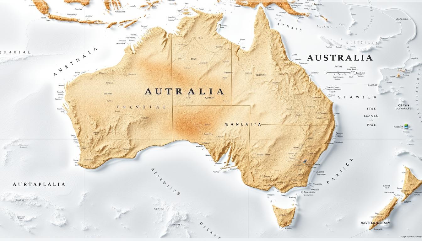
Interactive Australia Map highlighting top destinations and travel routes in the Pacific.
Explore the political units and capital cities of Brazil with our detailed map. Discover the geography and landmarks of this vibrant South American country.
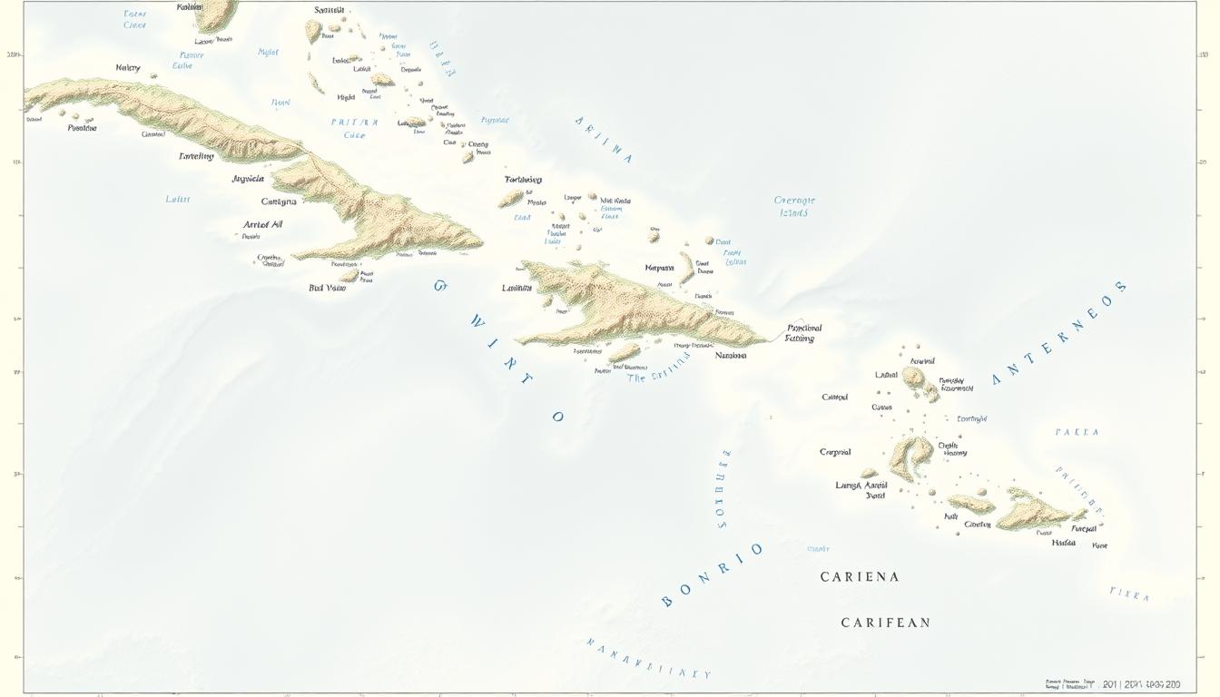
Explore the Caribbean Islands with our detailed scientific diagram. Download high-quality maps and learn about the geography of this tropical paradise.
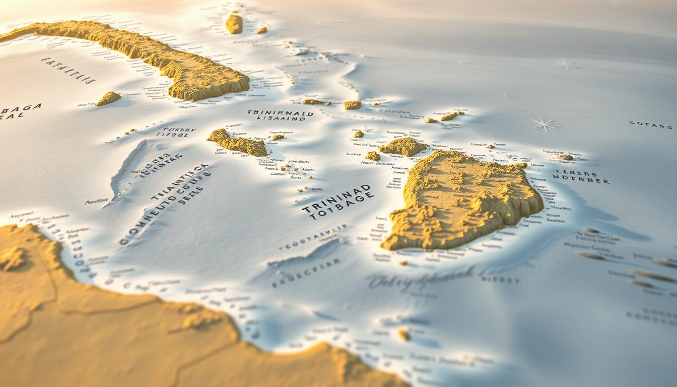
Explore the location of Trinidad and Tobago on this detailed Caribbean map. Discover the geography, cities, and more with our interactive Trinidad map.
Our map of Myanmar’s states and regions provides a comprehensive overview of the country’s administrative divisions. Explore the diverse landscape.