Map of the Arab World: Downloadable Scientific Diagram
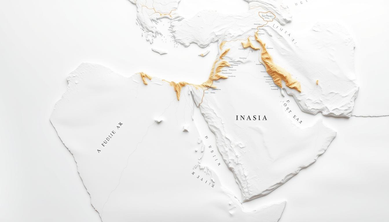
Downloadable scientific diagram of the Arab World map. Includes detailed country boundaries, major cities, and geographic features. Perfect for educational and research purposes.
Where Knowledge Meets Innovation
Downloadable scientific diagram of the Arab World map. Includes detailed country boundaries, major cities, and geographic features. Perfect for educational and research purposes.
Gain a deeper understanding of the months and seasons that define our annual cycles. Explore the science and significance behind these natural phenomena.
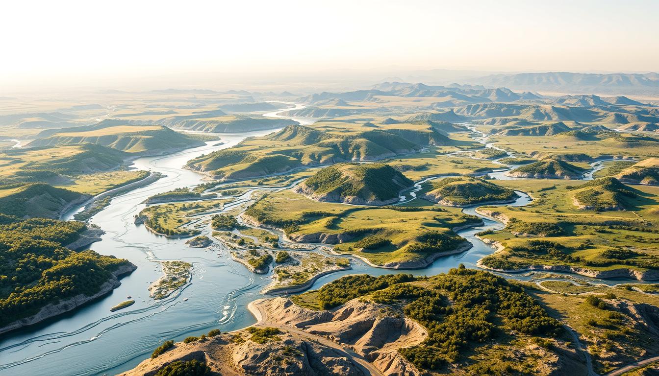
Discover the interconnected river systems of the Middle East, including the Nile, Jordan, Tigris, and Euphrates, with our comprehensive River Systems Map.
Explore the St. Lawrence Seaway, a vital waterway connecting the Great Lakes to the Atlantic Ocean. Discover the history, geography, and significance of this important shipping route.
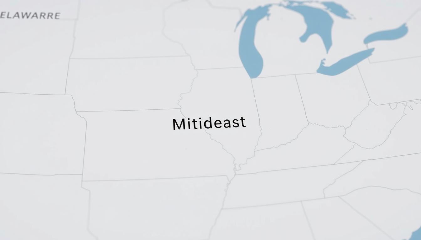
Explore the Mideast region of the US, including Delaware, Kentucky, and more. Learn about the defining characteristics of this unique US region.
Challenging ‘F’ puzzle to test your observation skills. Can you spot all the ‘F’s in this brain teaser?
Find the exact location of Jeddah, Saudi Arabia on our detailed map. Explore this vibrant coastal city and its key landmarks.
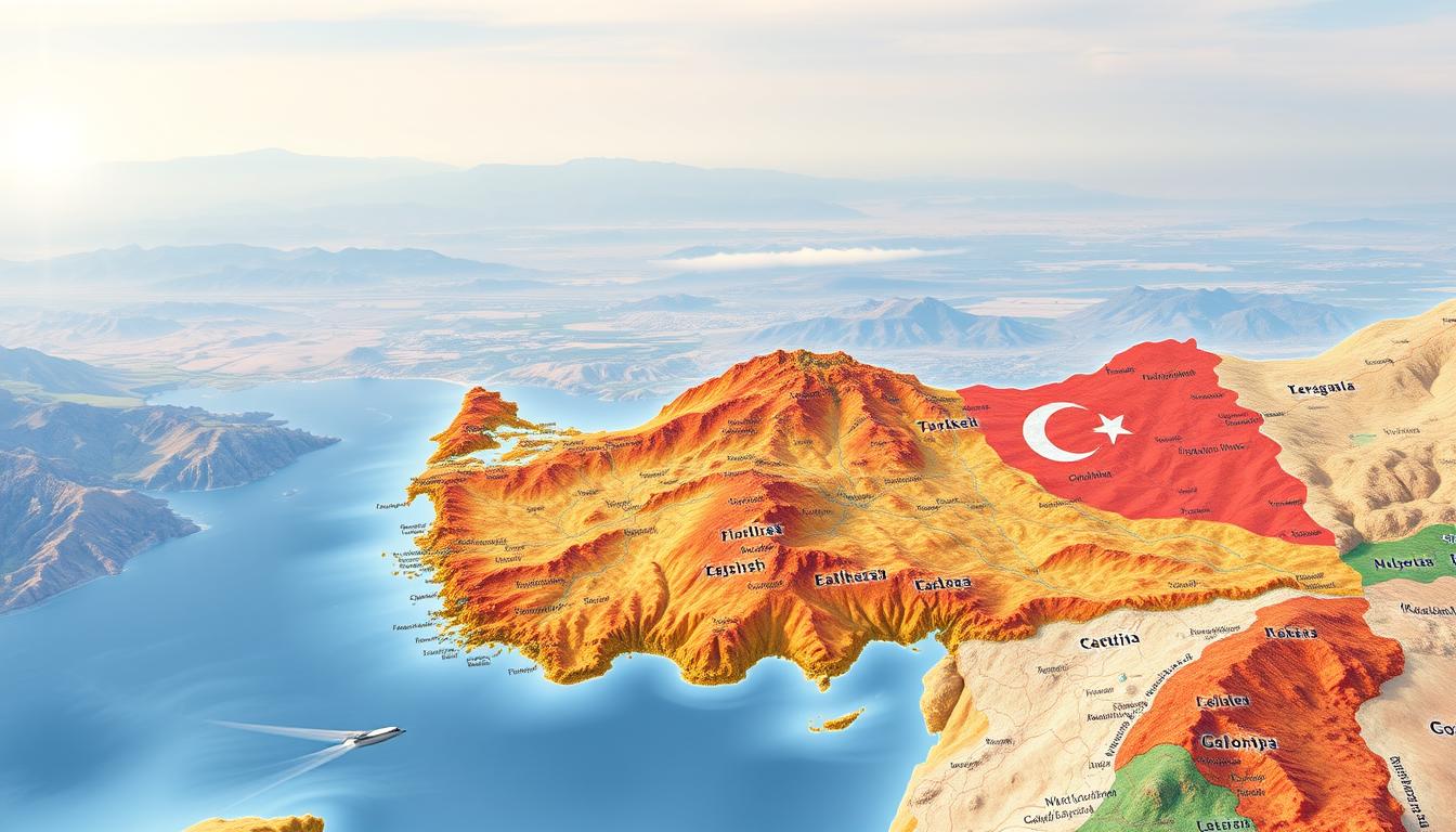
Explore the geography of Turkey and its neighboring countries with our detailed map. Discover regional landmarks, borders, and more.
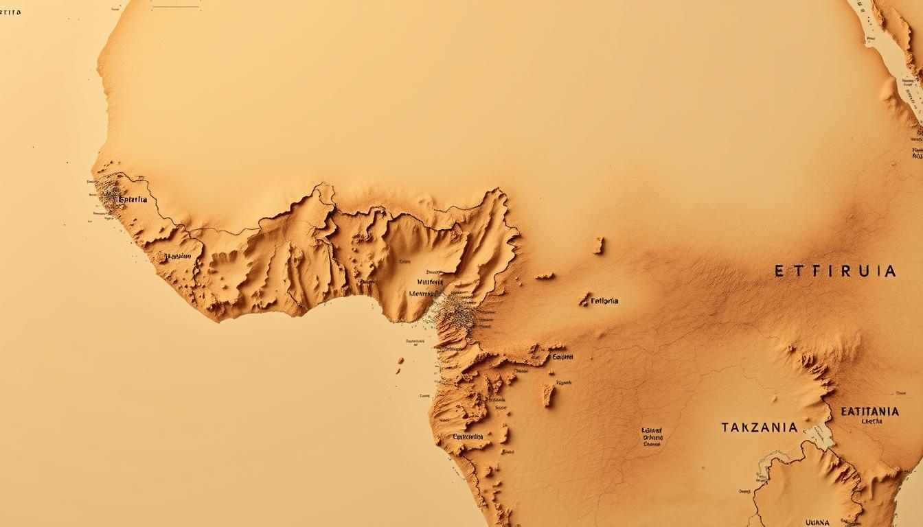
Explore the diverse countries of East Africa with our comprehensive map. Discover Ethiopia, Eritrea, Kenya, Somalia, Tanzania, and Uganda.
Explore Australia’s major cities with our comprehensive map. Discover the locations of key urban centers across the country.