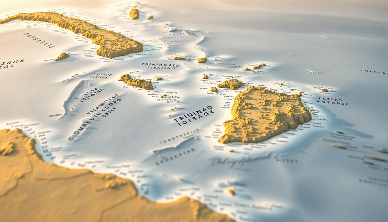
Trinidad and Tobago is a twin-island nation in the southern Caribbean. It’s known for its rich culture and strategic location. The islands are near Venezuela, northeast of South America.
The Caribbean map shows how important Trinidad and Tobago is. It connects the Caribbean Sea and the Atlantic Ocean. This makes the islands a key spot for trade and commerce.
Knowing where Trinidad and Tobago is helps us see its big role in the Caribbean. It’s key for understanding its economy and culture.
Geographic Position of Trinidad and Tobago in the Caribbean
Trinidad and Tobago sit in the southern Caribbean Sea. They are part of the Lesser Antilles. They are northeast of Venezuela and south of Grenada.
Coordinates and Relative Location
Trinidad and Tobago’s location is between 10° and 11° north latitude. They are between 60° to 62° west longitude. This makes them a key spot in the region, culturally and economically.
Distance from Major Caribbean Islands
The distance to other Caribbean islands varies. Tobago is about 160 km from Grenada. Trinidad is just 11 km from Venezuela’s coast.
Key distances include:
- Trinidad to Barbados: approximately 340 km
- Tobago to Grenada: approximately 160 km
- Trinidad to Venezuela: approximately 11 km
Proximity to South American Mainland
Being close to South America has big effects on Trinidad and Tobago. The Dragon’s Mouth, between Trinidad and Venezuela, shows their strategic spot.
“The geographical position of Trinidad and Tobago has made it a crossroads for trade and cultural exchange between the Caribbean and South America.”
This location has shaped their culture and role in regional affairs.
Physical Features on the Trinidad Map
The Trinidad map online shows the island’s varied landscapes. It includes mountains, plains, and coastlines. Each feature affects the local ecosystem and where people live.
Northern Range Mountains and Central Plains
The Northern Range Mountains are a key part of Trinidad. They stretch across the north and are home to many plants and animals. The Central Plains, south of the mountains, are fertile and important for farming.
Southern Lowlands and Trinity Hills
The Southern Lowlands are flat and used for farming and oil. The Trinity Hills in the southwest have a unique landscape and are sacred. A detailed Trinidad map online shows these areas well.
Coastal Features and Beaches
Trinidad’s coastline is full of beaches, bays, and peninsulas. Places like Maracas and Mayaro are favorite spots for tourists. The coast also supports fishing and other sea activities.
In summary, a Trinidad map online gives a full view of the island’s landscapes. From the mountains to the coastlines, it’s vital for understanding Trinidad. It helps with planning, development, and tourism.
Tobago’s Distinct Geography on Caribbean Maps
Tobago, the smaller island of Trinidad and Tobago, has a unique geography. It is often overshadowed by Trinidad but has lush forests, rugged terrain, and beautiful coastlines. These features make Tobago special on Caribbean maps.
Main Ridge Forest Reserve
The Main Ridge Forest Reserve is a key feature of Tobago. It was established in 1776, making it one of the oldest protected areas globally. The reserve is home to diverse flora and fauna, including many tree species, birds, and insects.
The dense forests in the reserve are vital for Tobago’s biodiversity. They help keep the island’s ecological balance.
Coastal Formations and Bays
Tobago’s coastline is known for its beauty. It has many coastal formations and bays. The shores are lined with secluded beaches, coral reefs, and rocky coves, attracting tourists.
The most famous spots are Store Bay and Pigeon Point. They are iconic landmarks and major tourist attractions. These areas add to Tobago’s natural beauty and provide homes for marine life.
Comparison with Trinidad’s Landscape
While both islands share some similarities, Tobago and Trinidad are different. Trinidad has mountains, plains, and a wider variety of ecosystems. Tobago, on the other hand, focuses more on its forests and coastlines.
This difference is clear on Caribbean maps. Tobago’s unique features make it stand out.
Historical Evolution of Trinidad and Tobago Maps
Looking into the history of Trinidad and Tobago’s maps gives us a peek into their past and present. These maps show the islands’ cultural, political, and geographical changes over time. It’s a story of growth and change.
Colonial Cartography and Early Maps
The first maps of Trinidad and Tobago were made by colonial powers like the Spanish and British. These maps helped with navigation, claiming land, and finding resources. Early cartographers had to overcome many challenges, like unknown territories and the need for accurate data.
Post-Independence Mapping Developments
After gaining independence, Trinidad and Tobago improved its mapping skills. A national mapping agency was set up, making maps more accurate and detailed. Technological advancements helped make these maps more precise and useful.
Modern Cartographic Representations
Now, Trinidad and Tobago’s maps use advanced tech like GIS and satellite imagery. These modern maps are more accurate and show lots of details. They include information on topography, infrastructure, and natural resources.
| Period | Cartographic Features | Technologies Used |
|---|---|---|
| Colonial Era | Basic geographical features, territorial boundaries | Manual surveying, hand-drawn maps |
| Post-Independence | Detailed topography, infrastructure | Aerial photography, early GIS |
| Modern Era | High-resolution topography, detailed infrastructure, natural resources | Satellite imagery, advanced GIS, digital mapping |
The history of Trinidad and Tobago’s maps shows the islands’ changing history and their use of new technology. Knowing this history helps us understand the region’s geography and its maps better. You can learn more by using a Printable Trinidad Map.
Comprehensive Trinidad Map Guide
Learning about a detailed Trinidad map is key to exploring the island’s varied landscapes and culture. This guide will help you understand and use these maps for different needs.
Map Scales and Projections
The scale of a Trinidad map shows its detail and accuracy. Scales are ratios, like 1:50,000, meaning one map unit equals 50,000 real units. Different scales are for different uses, from big views to detailed paths.
The map’s projection also matters. Common ones are Mercator and Transverse Mercator. Each has its own strengths and weaknesses.
Legend Interpretation and Symbols
The legend of a Trinidad map is vital. It tells you what symbols, colors, and notations mean. Knowing these symbols helps you get the most from the map.
For example, knowing the difference between main and secondary roads helps in planning your route.
Navigating with Trinidad Maps
To navigate Trinidad well, you need to know about map scales, legends, and how to use the map. This skill is useful for travel, research, or daily trips. It makes exploring the island more efficient and enjoyable.
Major Cities and Urban Centers on Trinidad Maps
Urban centers in Trinidad and Tobago are key to the country’s economy and culture. They show a mix of old and new buildings. This mix reflects Trinidad’s rich history and growth.
Port of Spain Metropolitan Area
Port of Spain is the heart of Trinidad and Tobago. It’s a center for government, business, and culture. Key landmarks include the Queen’s Park Savannah and the National Museum and Art Gallery.
The area has homes, shops, and factories. It’s a lively and varied place.
San Fernando and Southern Urban Regions
San Fernando is Trinidad’s second-largest city. It’s a big city in the south. It’s famous for its vibrant cultural scene and sites like the San Fernando Hill.
The south also has other important towns. Each adds to the country’s economy and society.
Scarborough and Tobago’s Settlements
Scarborough is Tobago’s capital. It’s known for its beautiful harbor and Fort King George. The town has a lovely mix of old and new buildings.
Other places like Crown Point and Charlotteville are also special. They have their own charm and attractions.
The cities of Trinidad and Tobago are vital. They help us understand the country’s geography, economy, and culture. This is shown on Trinidad Satellite Maps and other maps.
Transportation Network on Trinidad and Tobago Map
The Trinidad and Tobago map shows a wide network of transport. It links big cities, towns, and places tourists like. This network is key for the islands’ growth, helping move goods, services, and people.
Highway System and Major Roads
The highways in Trinidad and Tobago are well-built. They connect important cities and towns. The Uriah Butler Highway and the Churchill Roosevelt Highway are major roads in Trinidad. They make travel faster and easier between big cities. Tobago also has roads that link its main towns and places tourists visit.
- Major highways make it easy to get to different parts of the islands.
- Keeping the roads in good shape is a regular task.
- Scenic routes let tourists see the beauty of Trinidad and Tobago.
Water Transportation Routes
Water transport is very important in Trinidad and Tobago. Port of Spain is a big maritime center in the Caribbean. Ferries link Trinidad and Tobago, carrying people and goods.
Air Travel Infrastructure
Trinidad and Tobago have modern airports for flying. Piarco International Airport in Trinidad and ANR Robinson International Airport in Tobago are the main airports. They handle flights to places all over the world.
- Piarco International Airport is a big hub for flights.
- ANR Robinson International Airport in Tobago supports tourism and business.
- Domestic flights and charter services add more ways to travel between the islands.
Natural Resources and Protected Areas
Trinidad and Tobago is famous for its rich biodiversity. It has many natural resources and protected areas. The country’s landscape is diverse, with everything from lush forests to marine environments.
Forest Reserves and National Parks
The country has several forest reserves and national parks. The Main Ridge Forest Reserve in Tobago is one of the oldest in the Western Hemisphere. These places are key for keeping biodiversity alive and supporting eco-tourism.
Oil and Natural Gas Fields
Trinidad and Tobago is known for its oil and natural gas. The Point Fortin area is a big player in oil production. It plays a big role in the nation’s energy sector.
Wildlife Sanctuaries and Marine Parks
The nation protects its marine and wildlife through sanctuaries and parks. The Buccoo Reef Marine Park is a great example. It’s home to many marine species and helps the local fishing industry.
An Interactive Map of Trinidad helps us understand these resources better. It boosts conservation and supports sustainable development.
Interactive Trinidad Map Resources Online
Interactive maps are key for understanding Trinidad’s layout and geography. They offer detailed info and real-time navigation help.
These maps are great because they give dynamic and customizable data. You can zoom in and out, explore areas, and get extra info. They’re super useful for both locals and visitors.
Government Mapping Portals
Government mapping sites are a top source for official data. They have accurate and up-to-date info on Trinidad’s topography and more. You can find detailed maps with landmarks, boundaries, and environmental zones.
These sites are reliable because the data comes from official sources. It’s updated regularly, making it a go-to for many.
Google Maps and Global Platforms
Google Maps is a top choice for mapping Trinidad. It offers street-level imagery, traffic updates, and info on local spots.
Its easy-to-use design and strong features make it essential for finding your way. Plus, it uses data from many sources, including users, to improve its maps.
Specialized Trinidad Mapping Applications
There are also apps made for specific needs in Trinidad. These might focus on hiking trails, tourist spots, or environmental monitoring.
These apps have unique features for their users. Some let you use maps offline, which is handy in areas with no internet. Others have community features for sharing and contributing to the maps.
Detailed Trinidad Map for Tourism
A detailed Trinidad map is key for tourists to see the island’s many sights. It helps navigate the island’s cultural, historical, and natural wonders.
Cultural and Historical Landmarks
Trinidad boasts a rich cultural heritage. Its historical landmarks are shown on a detailed map. The National Museum and Art Gallery in Port of Spain gives insights into the island’s history and art.
Other notable sites include the Queen’s Park Savannah and the Trinidad and Tobago Institute of the Performing Arts. These places preserve the island’s performing arts heritage.
“Trinidad’s cultural landscape is a vibrant tapestry of history, art, and performance, making it a unique destination for cultural tourists.”
Eco-Tourism Destinations
Trinidad is famous for its eco-tourism spots, easily found with a detailed map. The Asa Wright Nature Centre is a favorite for birdwatching and hiking in lush rainforest.
The Caroni Bird Sanctuary is another must-see, known for its mangrove forests and birdlife.
Festival and Event Locations
The island hosts many festivals and events all year. A detailed map helps find these events. The Trinidad Carnival is a major event, with activities across the island, including the Queen’s Park Savannah.
Other events, like the Divali Nagar festival, celebrating Hindu culture, are also mapped for easy access.
| Event | Location | Date |
|---|---|---|
| Trinidad Carnival | Queen’s Park Savannah | February/March |
| Divali Nagar | Nagar Village | October/November |
Using a detailed Trinidad map, tourists can better enjoy the island. They can explore its diverse cultural, historical, and natural attractions easily.
Trinidad Roads Map and Transportation Guide
Understanding Trinidad’s roads and transport is key to getting around. The island’s roads help you travel between cities, rural spots, and tourist sites.
Urban Road Networks
In Port of Spain and other urban areas, the roads are well-built. The Uriah Butler Highway and Churchill Roosevelt Highway make it easy to get around. They’re vital for daily trips and reaching other parts of the island.
| Highway | Route | Notable Features |
|---|---|---|
| Uriah Butler Highway | South to North | Connects major towns and cities |
| Churchill Roosevelt Highway | East to West | Links to Piarco International Airport |
Rural Connections and Scenic Routes
Trinidad’s rural areas and scenic spots are accessible by road. The roads to the Northern Range offer stunning views. They lead to hiking trails and natural wonders.
Public Transportation Mapping
Trinidad’s public transport includes buses and maxi-taxis. Knowing the routes and schedules is important. The Public Transport Service Corporation runs the buses. Maxi-taxis follow set paths, making travel affordable and easy.
Learning about Trinidad’s roads and transport makes traveling easier. You can explore the island’s varied landscapes and culture with confidence.
Printable Trinidad Map Options
Planning a trip to Trinidad or studying its geography? A printable map is key. These maps let you explore the island’s varied landscapes and cultural spots easily, without needing a digital device.
High-Resolution Downloads
High-resolution Trinidad maps are perfect for detailed geographical info. They are great for researchers, travelers, and teachers who need a clear map of the island.
Using high-resolution maps has many benefits:
- They show geographical features clearly
- Detail roads and landmarks well
- Are useful for both school and travel needs
Customizable Map Templates
Need more flexibility? Customizable map templates are here. These templates let you add or remove details as you like, making them very flexible.
| Feature | High-Resolution Downloads | Customizable Templates |
|---|---|---|
| Detail Level | High | Variable |
| Customizability | Limited | High |
| Use Cases | Research, Education | Personalized Travel Plans, Academic Projects |
Trinidad Satellite Map Analysis
Satellite imagery has changed how we see Trinidad’s geography. It lets us see land use patterns and environmental changes that regular maps can’t show.
Land Use Patterns Visible from Space
Satellite images show us the different uses of land in Trinidad. Agricultural lands stand out with their shapes and changes with the seasons. Urban areas are easy to spot with their dense buildings and lights.
| Land Use Type | Description | Visible Features |
|---|---|---|
| Agriculture | Cultivated lands for crops | Geometric patterns, seasonal changes |
| Urban | Dense settlements and infrastructure | Buildings, roads, lighting |
| Natural Habitats | Forests, wetlands, and wildlife reserves | Vegetation density, water bodies |
Environmental Changes Through Satellite Imagery
Satellite data tracks changes in Trinidad’s environment, like deforestation and coastal erosion. By looking at images over time, scientists can spot trends and help protect the environment.
For example, deforestation can be tracked by seeing how much forest is left. Coastal erosion shows up as lost shoreline. These signs help us find ways to lessen environmental harm.
Trinidad and Tobago’s Position Among Caribbean Nations
Trinidad and Tobago is in the southern Caribbean. It’s key in regional talks. Its spot near South America and its sea borders with others show its importance.
Maritime Boundaries with Neighboring Countries
Trinidad and Tobago has sea borders with countries like Venezuela to the west and Barbados to the northeast. These are vital for fishing, oil, and gas work, and more.
| Country | Maritime Boundary | Economic Implications |
|---|---|---|
| Venezuela | Western border | Oil and gas reserves |
| Barbados | Northeastern border | Fishing rights and possible hydrocarbon reserves |
| Guyana | Eastern border | Maritime trade and possible resource extraction |
Strategic Location in the Southern Caribbean
Trinidad and Tobago’s spot in the southern Caribbean is strategic. It’s a key trade and commerce center. Its close location to shipping lanes and good infrastructure make it a major hub.
Conclusion: Understanding Trinidad and Tobago’s Geographic Significance
Trinidad and Tobago’s unique geography is key to their economy, culture, and tourism. A detailed Trinidad Map shows the islands’ strategic spot in the southern Caribbean. They are close to South America and have diverse landscapes.
This makes them a major center for trade and tourism in the region. The Trinidad Map guide also points out the islands’ main cities, roads, and natural resources. It shows the complexity of their geography.
Knowing these details helps us understand the islands’ culture and economy. By looking at the Trinidad Map, visitors and investors can see the islands’ growth possibilities. Whether you’re into eco-tourism, cultural sites, or business, Trinidad and Tobago has something for everyone.